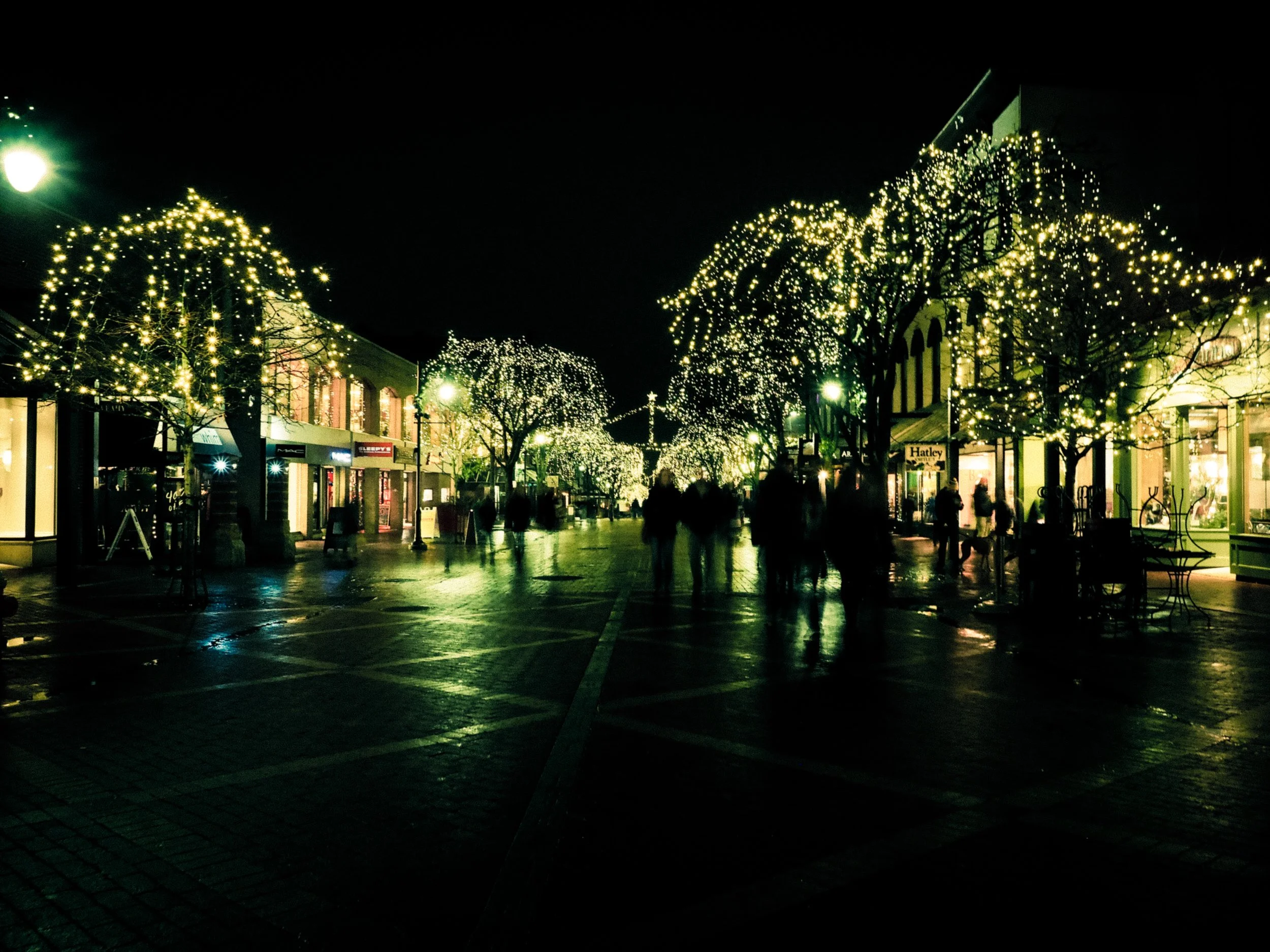
Small World

Routines
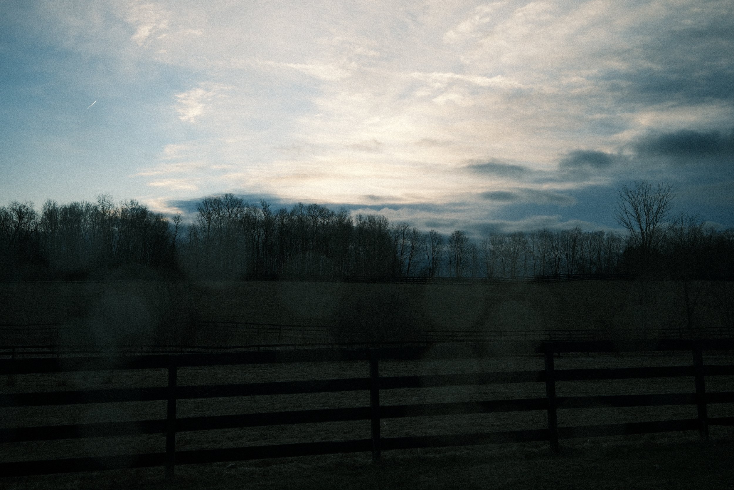
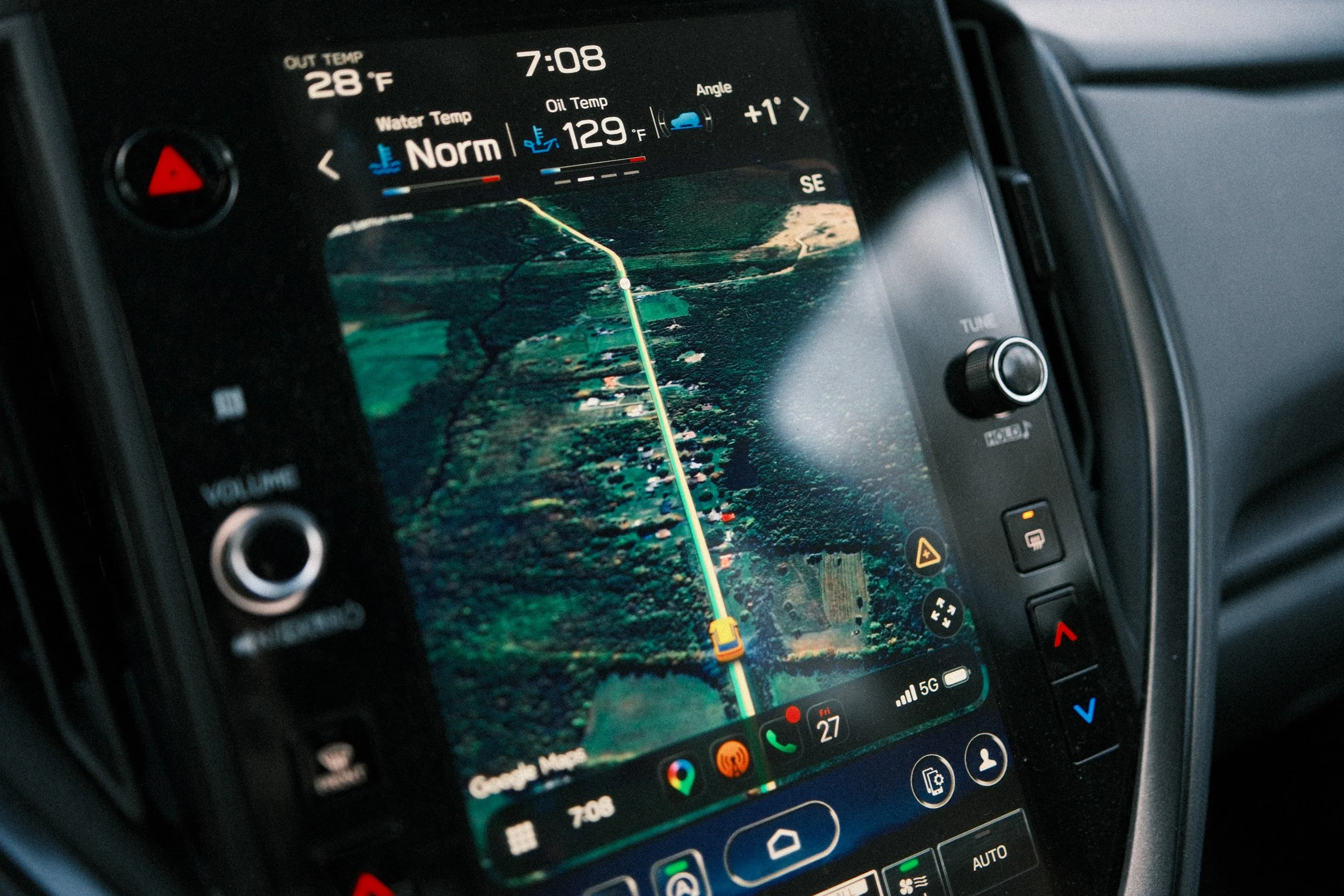
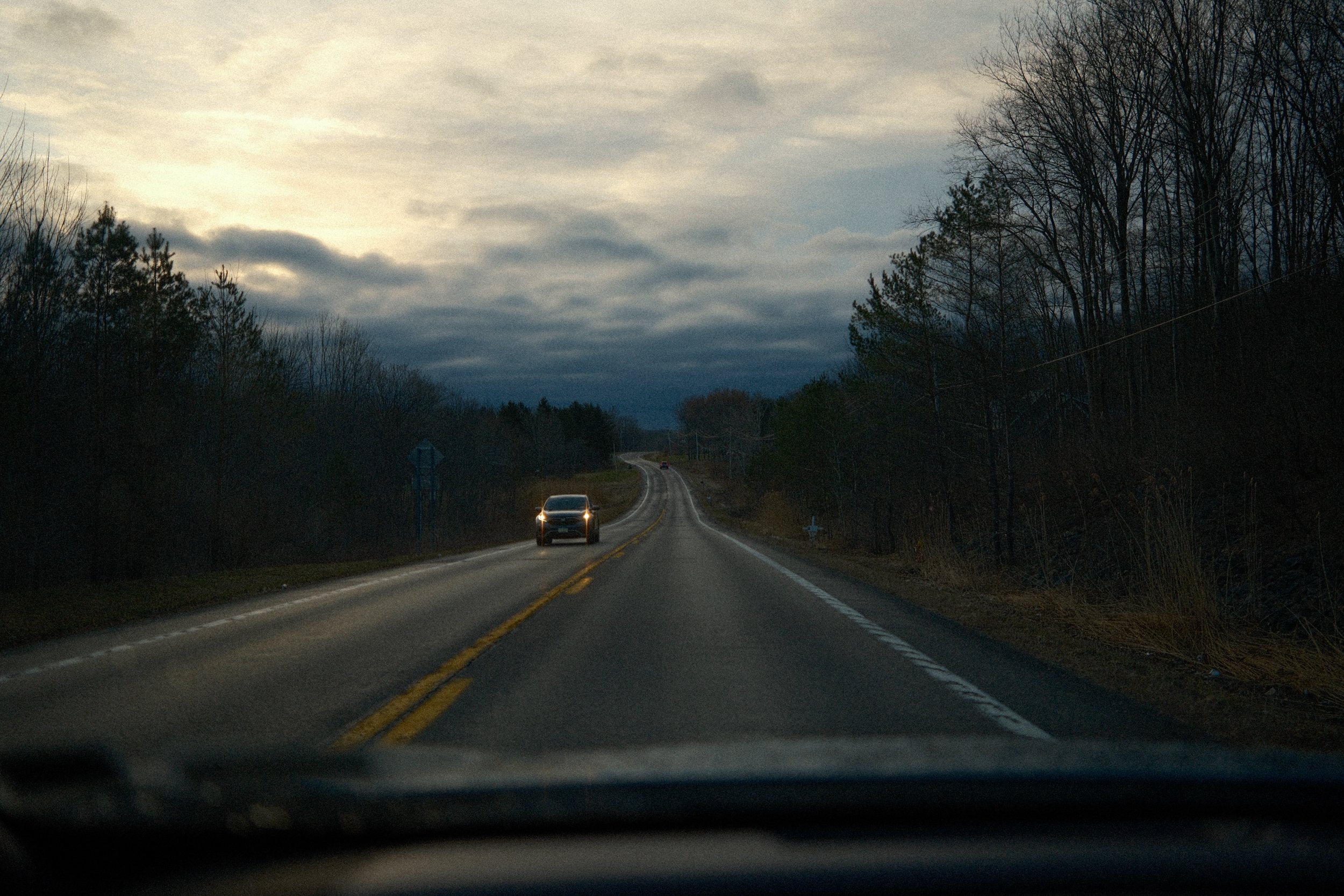
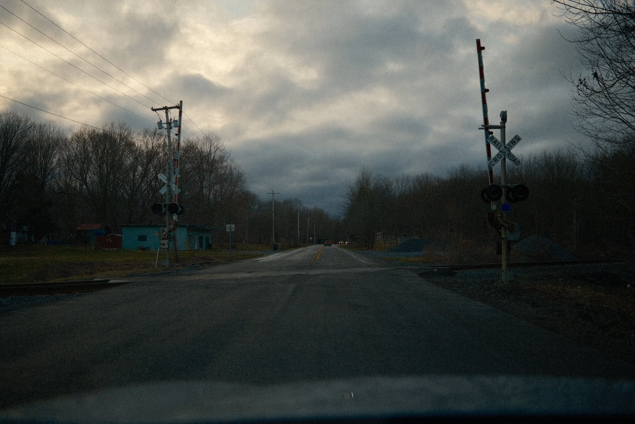
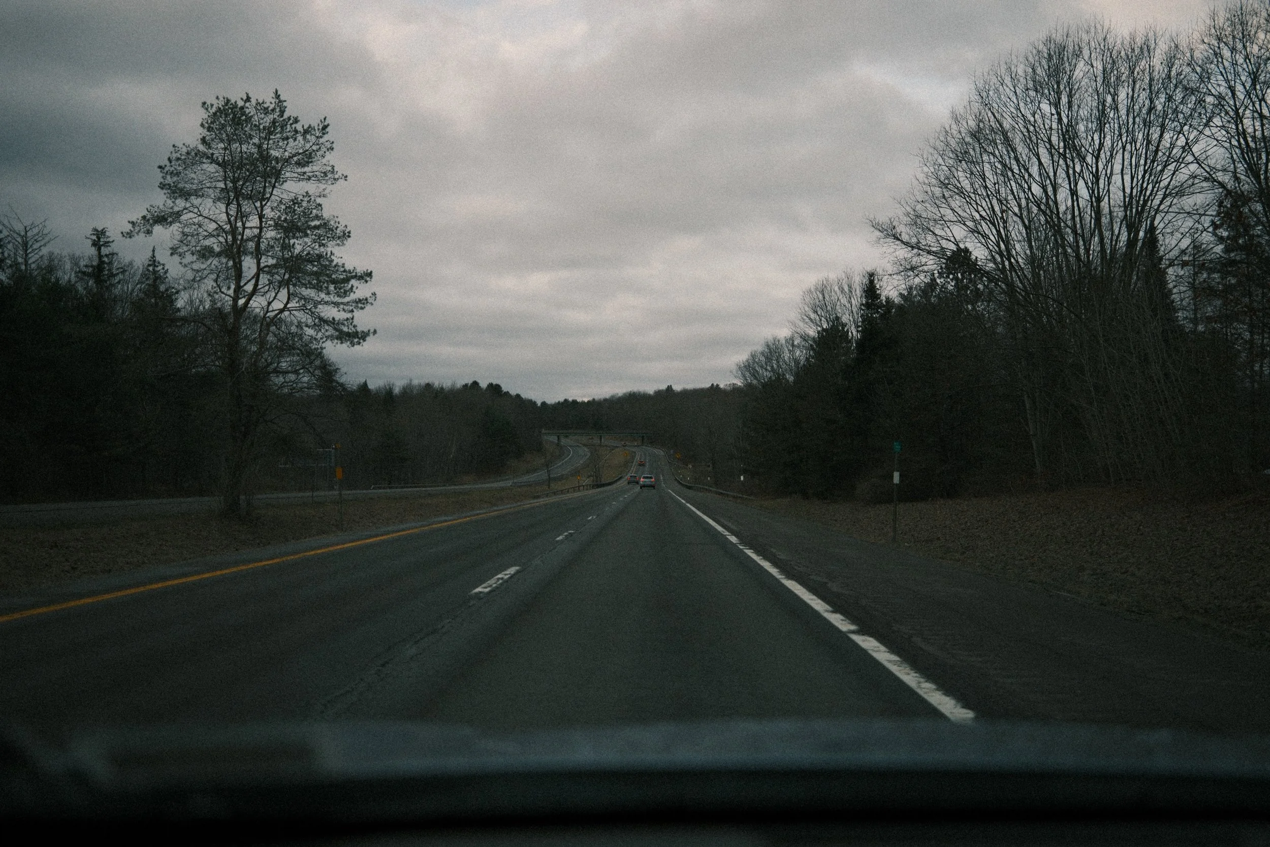
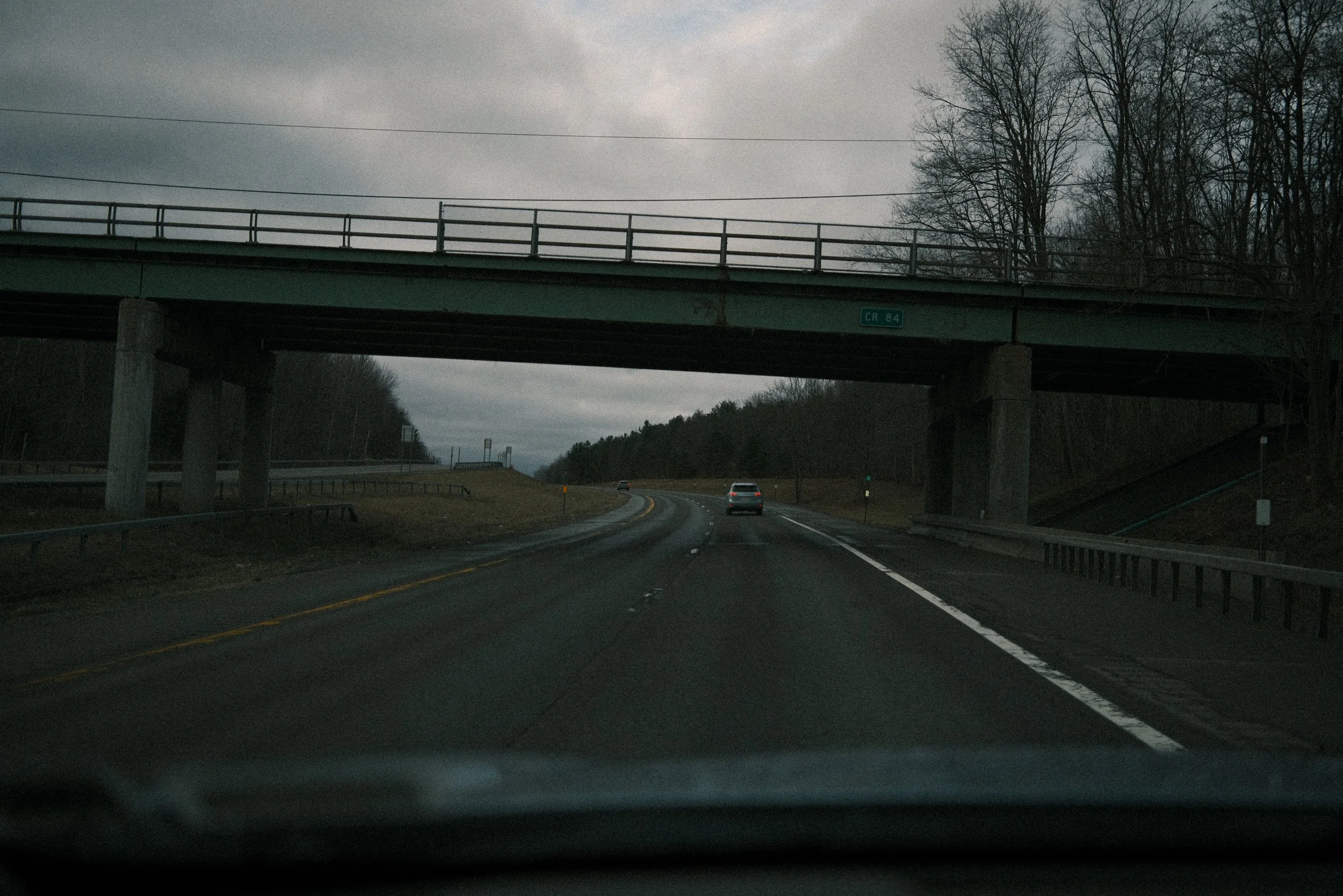

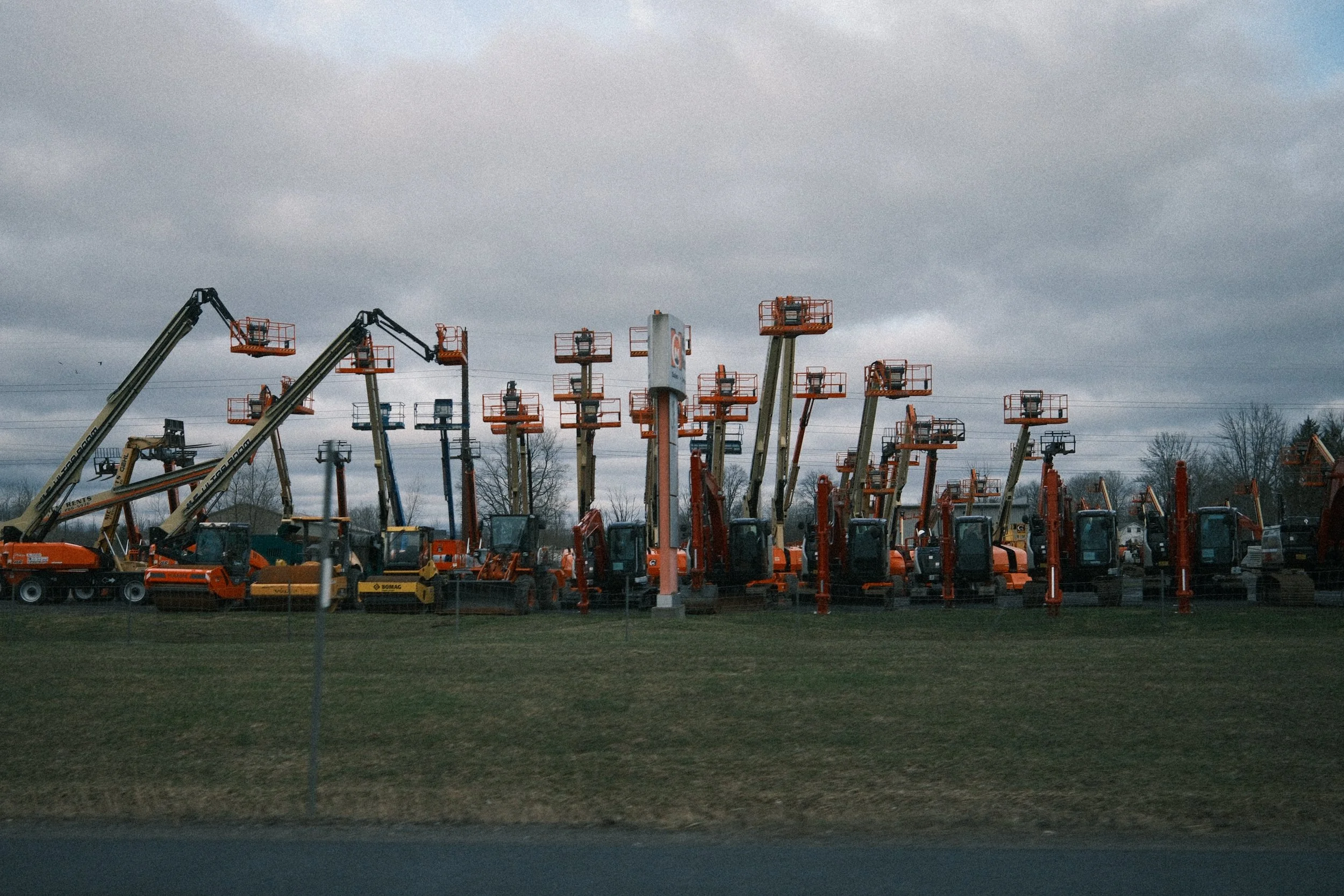

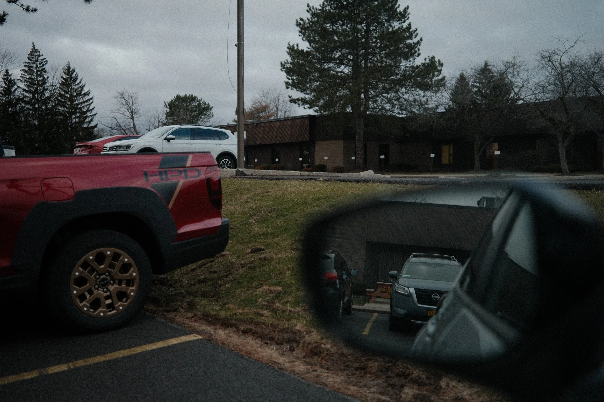
In motion from here to there.
1600 Pennsylvania Avenue NW
The Shifting
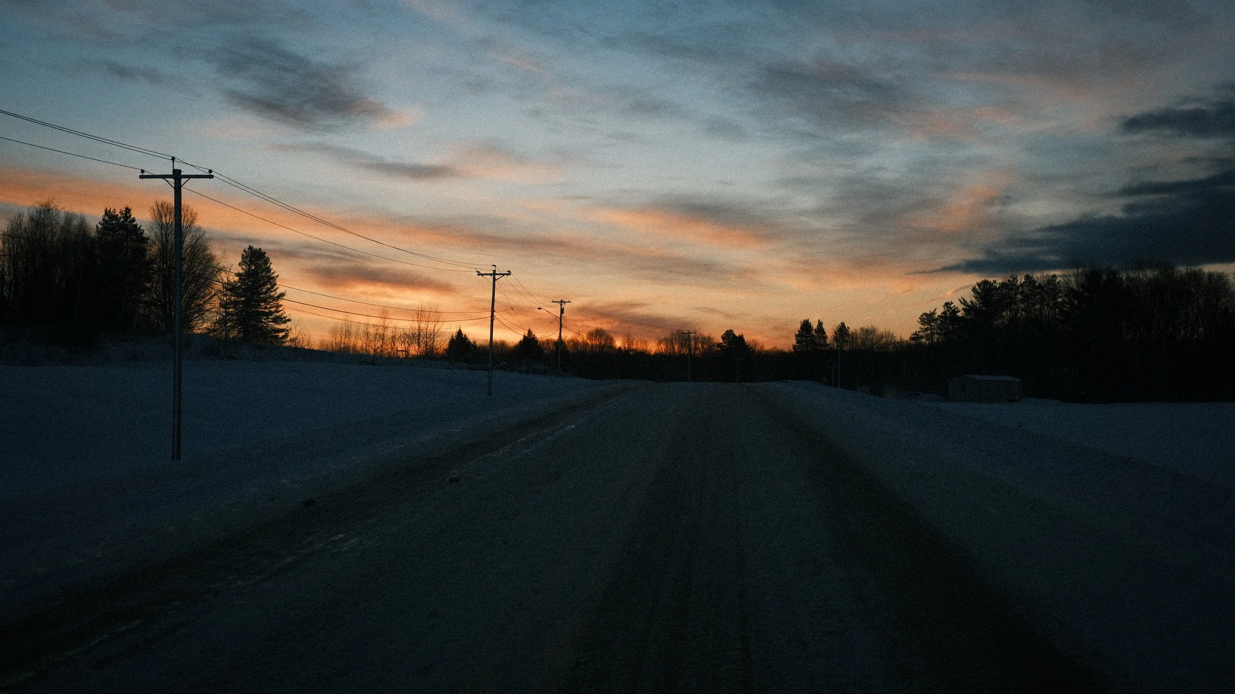
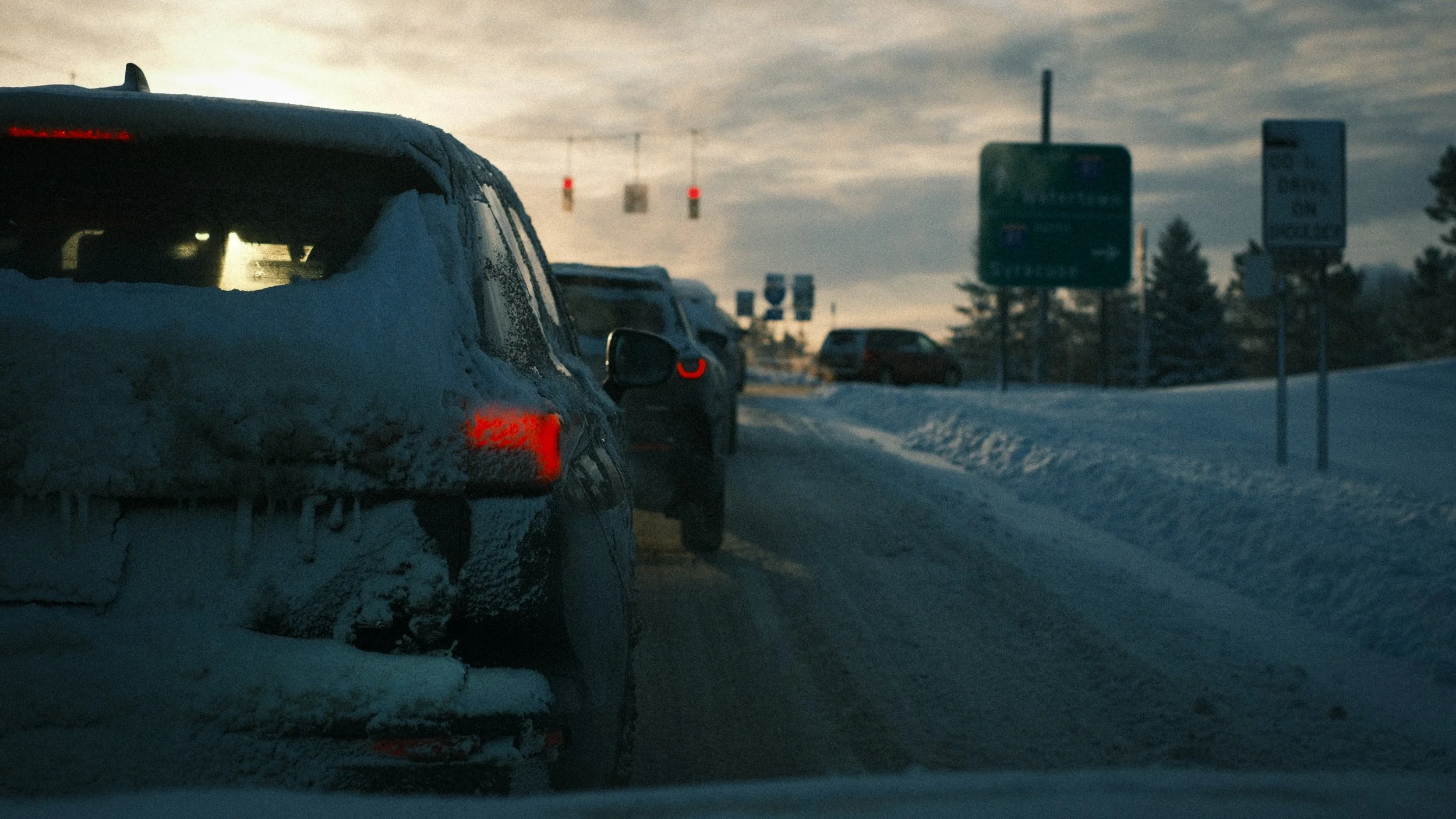
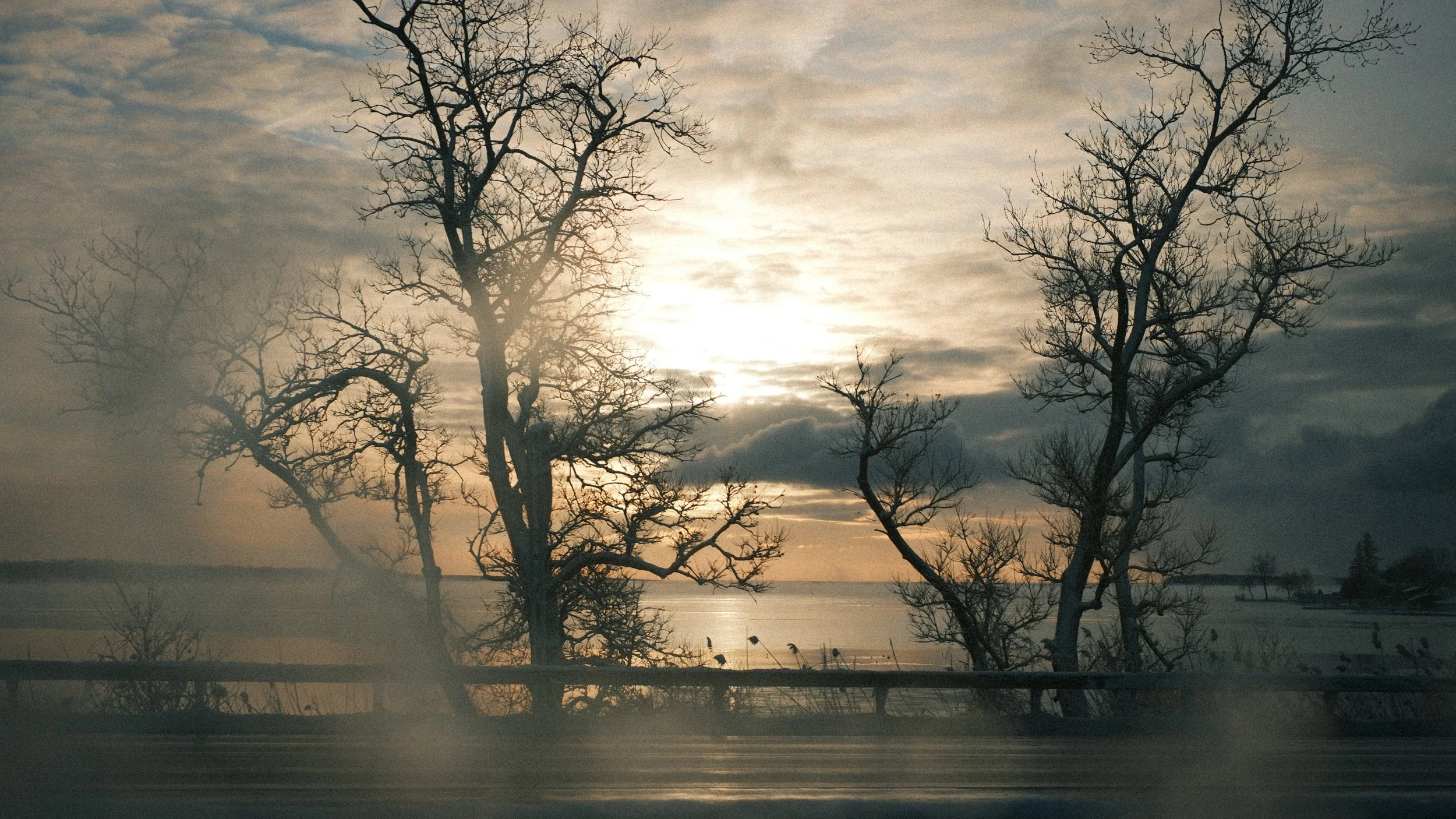
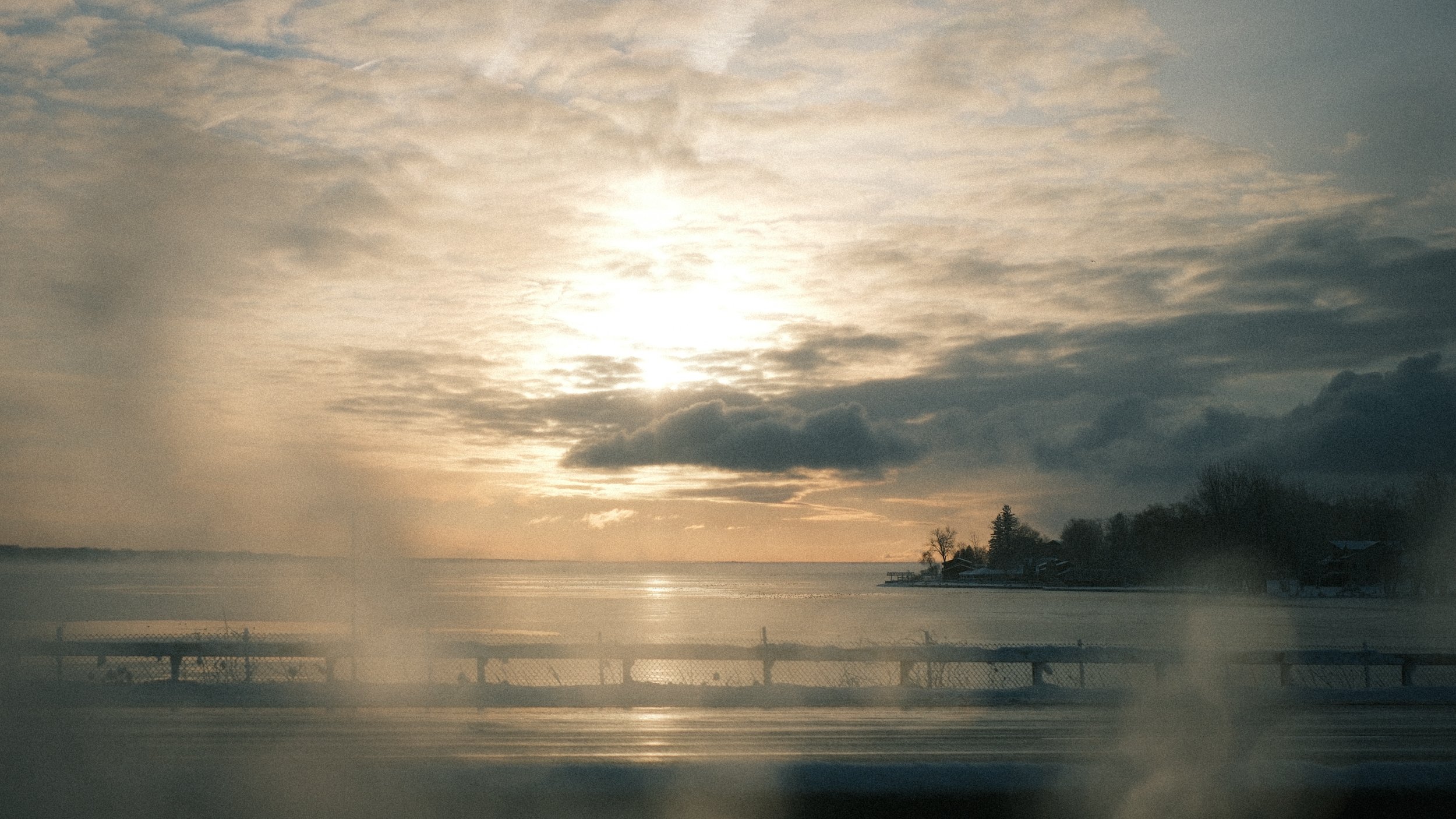
Indeed, everything and anything except me
I am invisible, understand, simply because people refuse to see me. Like the bodiless heads you see sometimes in circus sideshows, it is as though I have been surrounded by mirrors of hard, distorting glass. When they approach me they see only my surroundings, themselves, or figments of their imagination—indeed, everything and anything except me.
—Ralph Ellison
September Lines
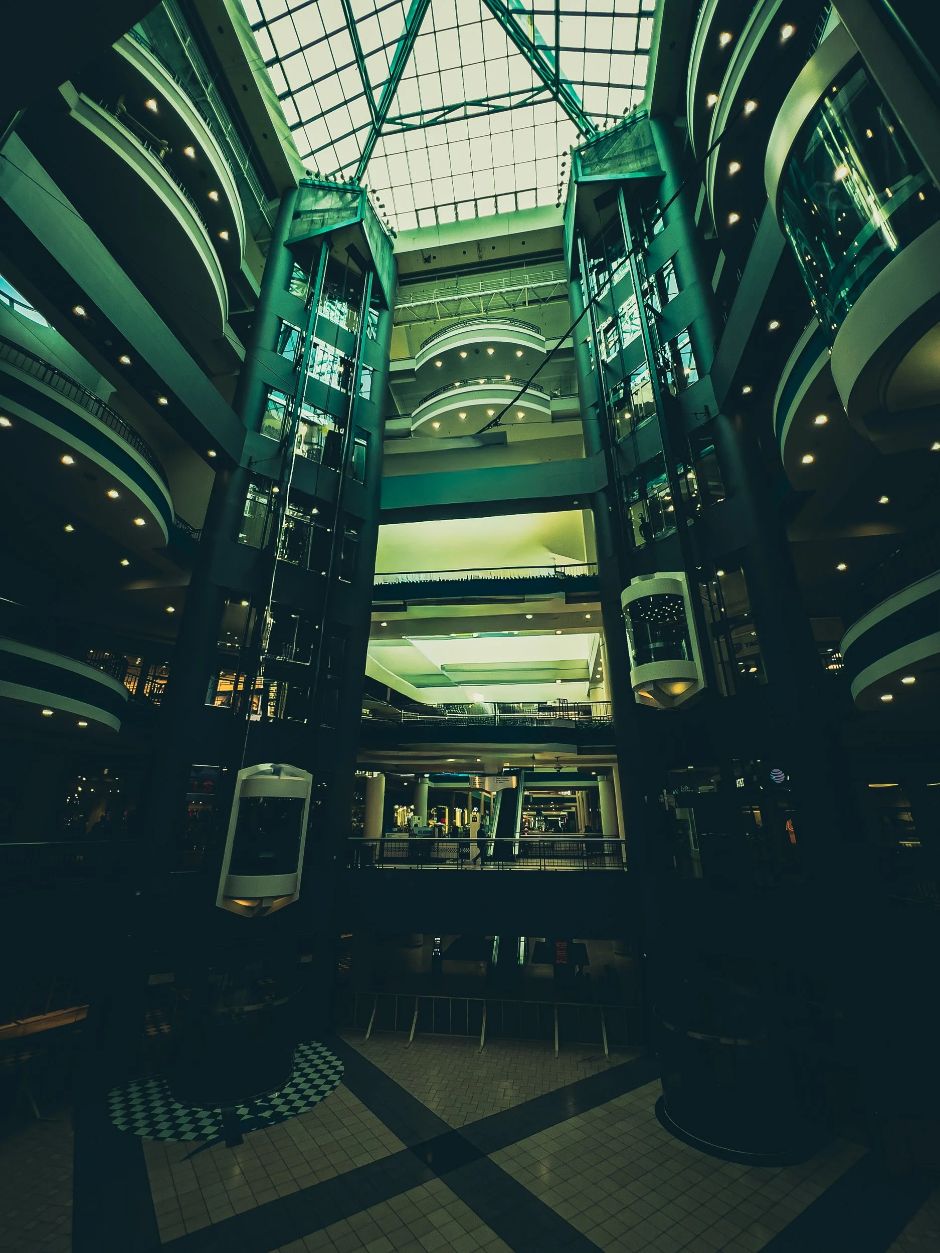
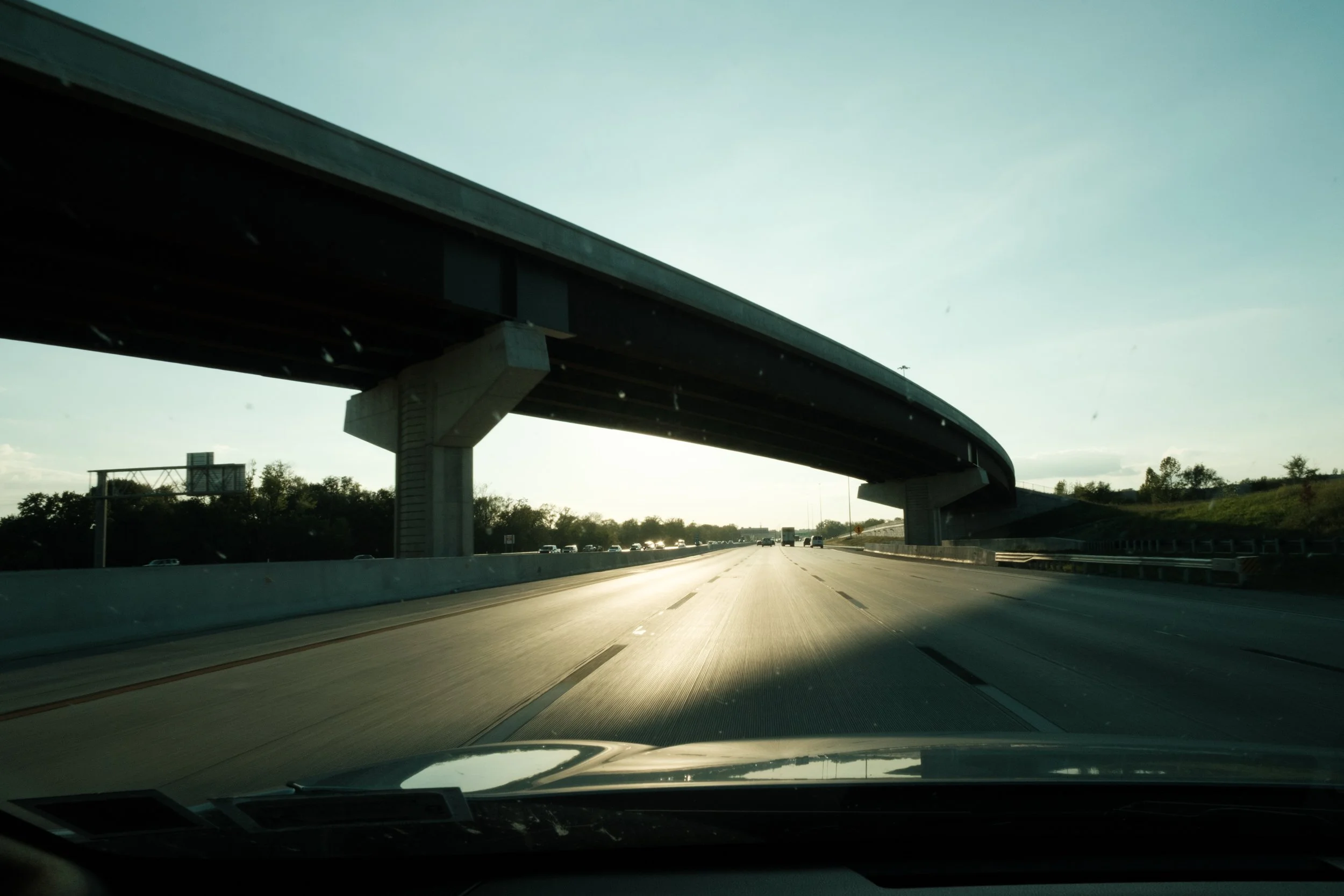

Between Syracuse and Terre Haute, these were some lines that caught my attention.
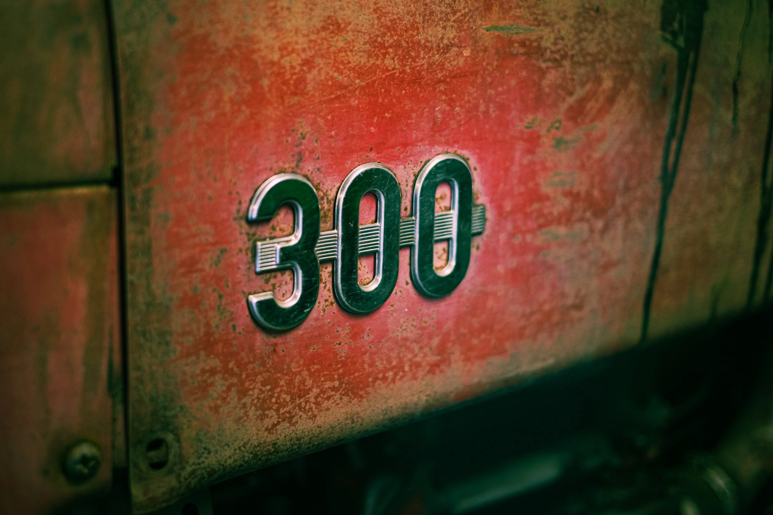
Durability Winner


Spring Rain
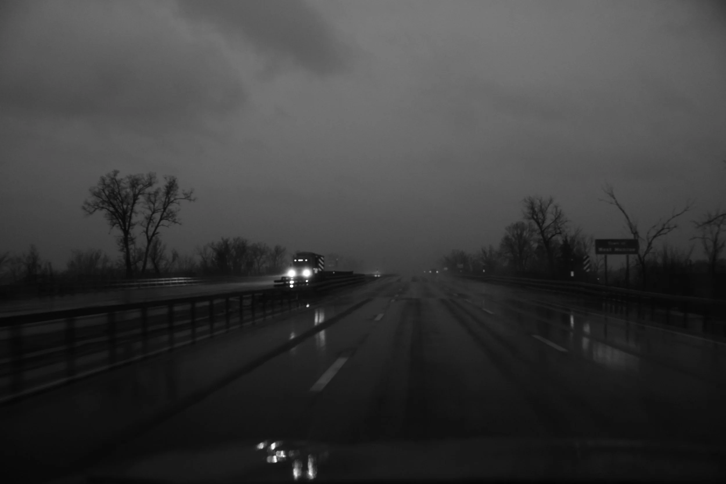


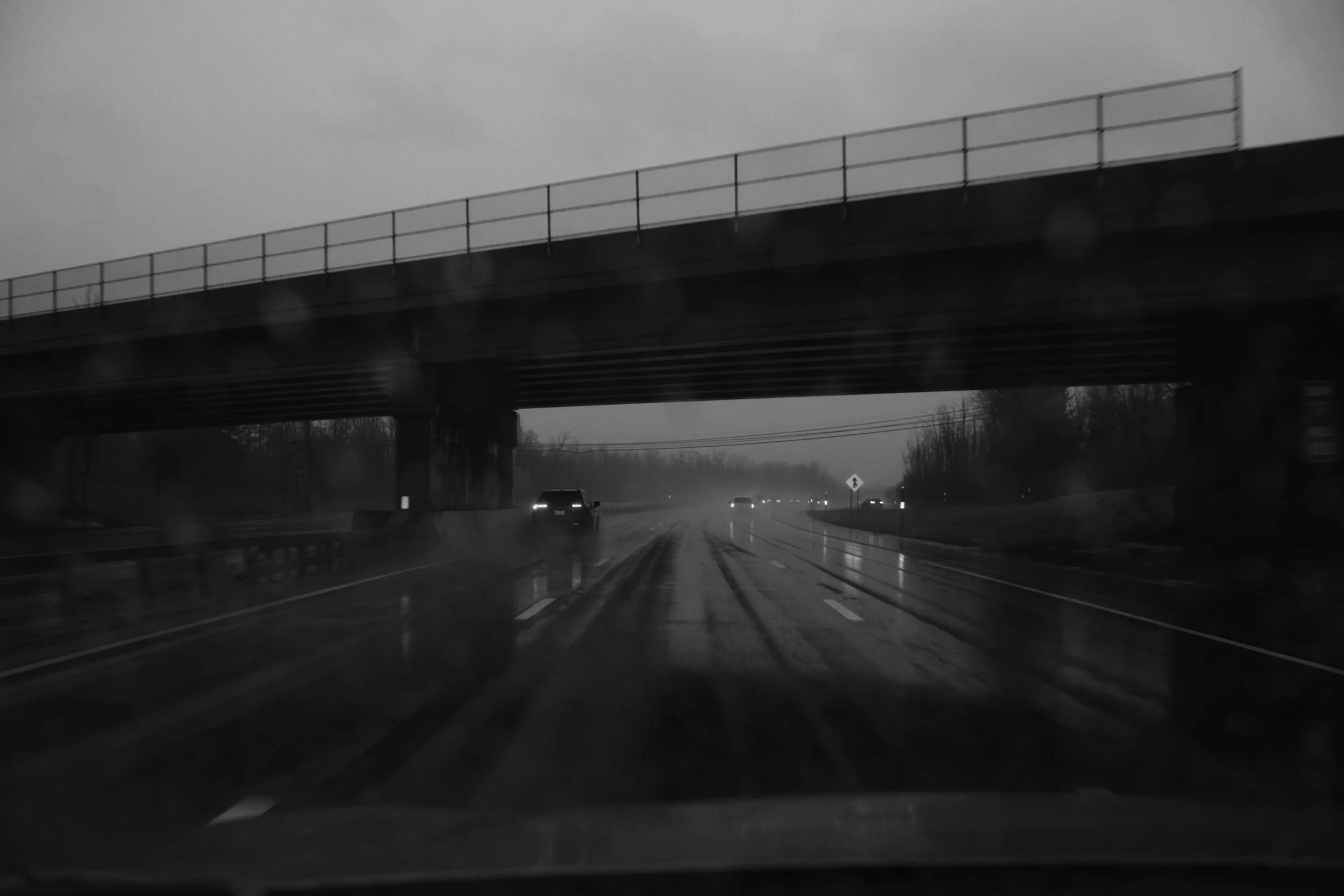
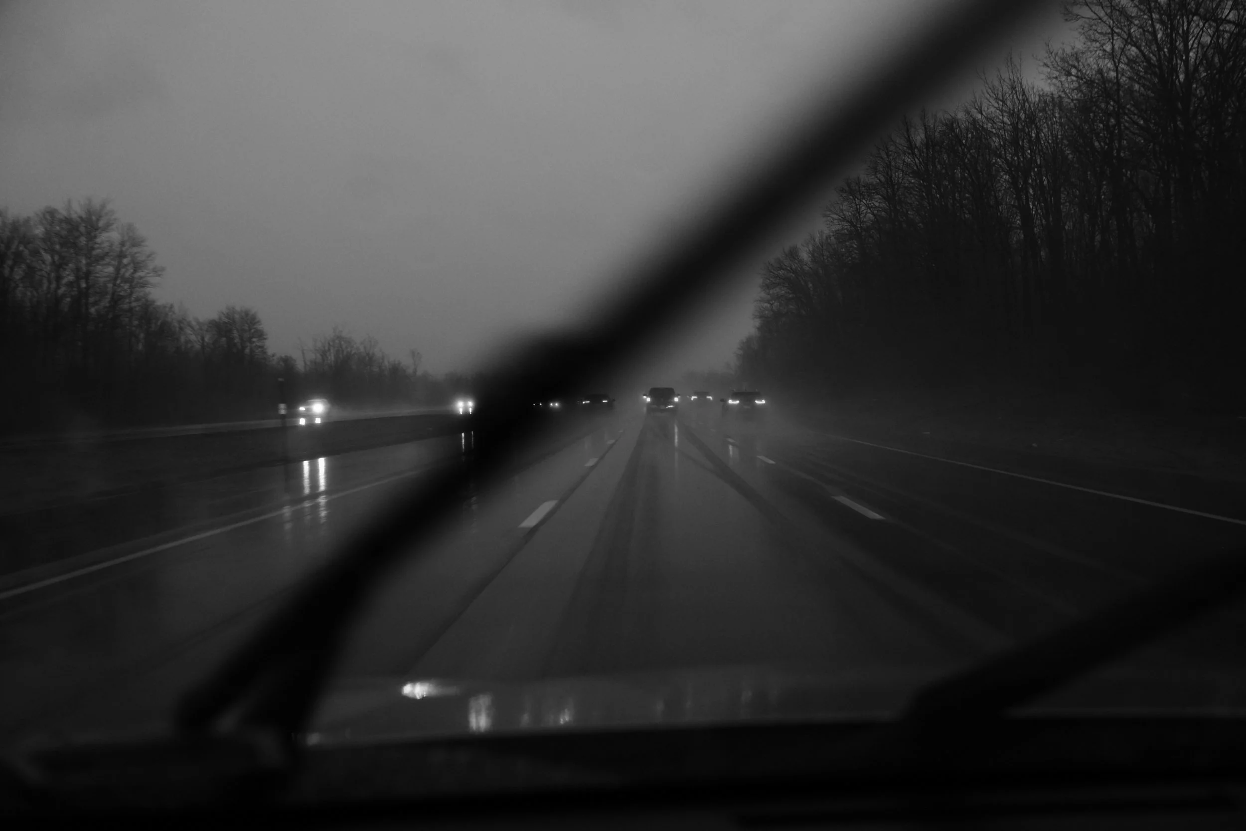
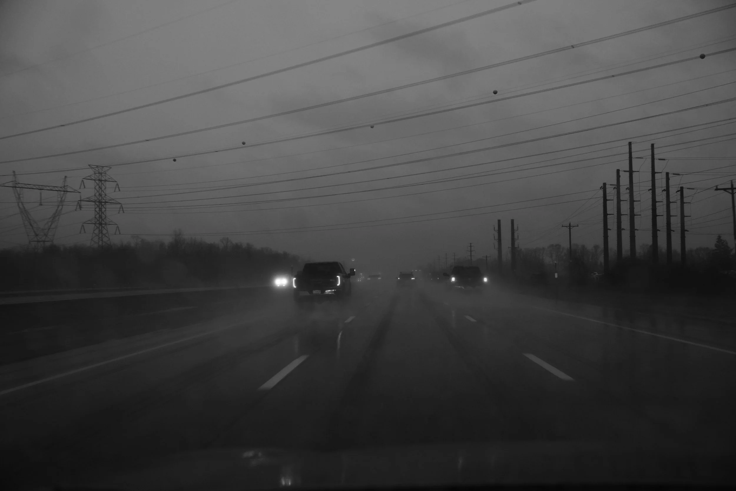
Flood warnings and water surrounding the house. Standing water on the highways completely covering the windshield when passed by tractor trailers.
But it’s Spring—not Winter! All is good.
Photographs are straight out of the camera (SOOC), captured along Interstate 81 within the area between just North of Brewerton and Cicero.
Owáhiŋža Wakpá
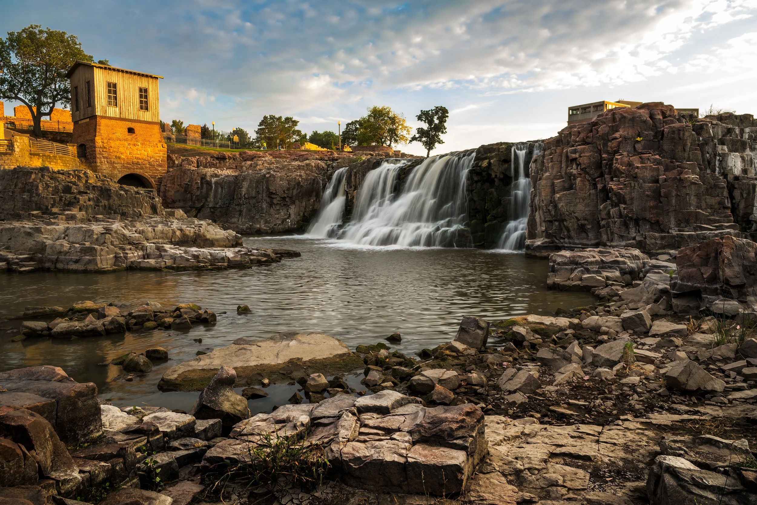
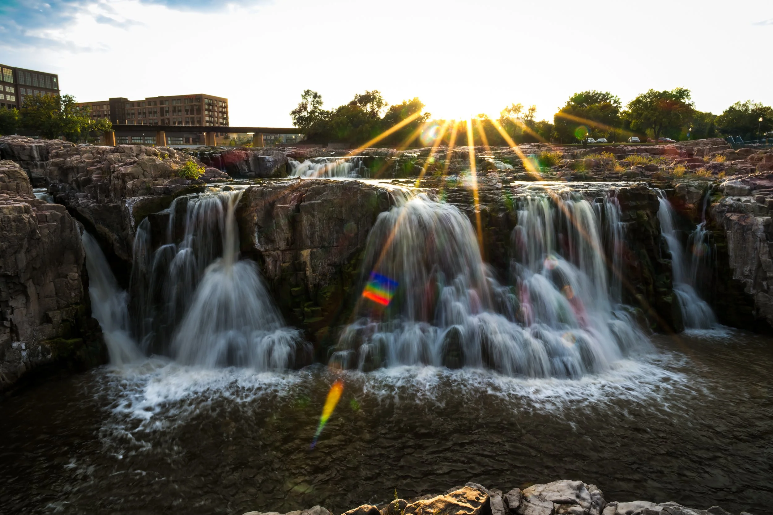
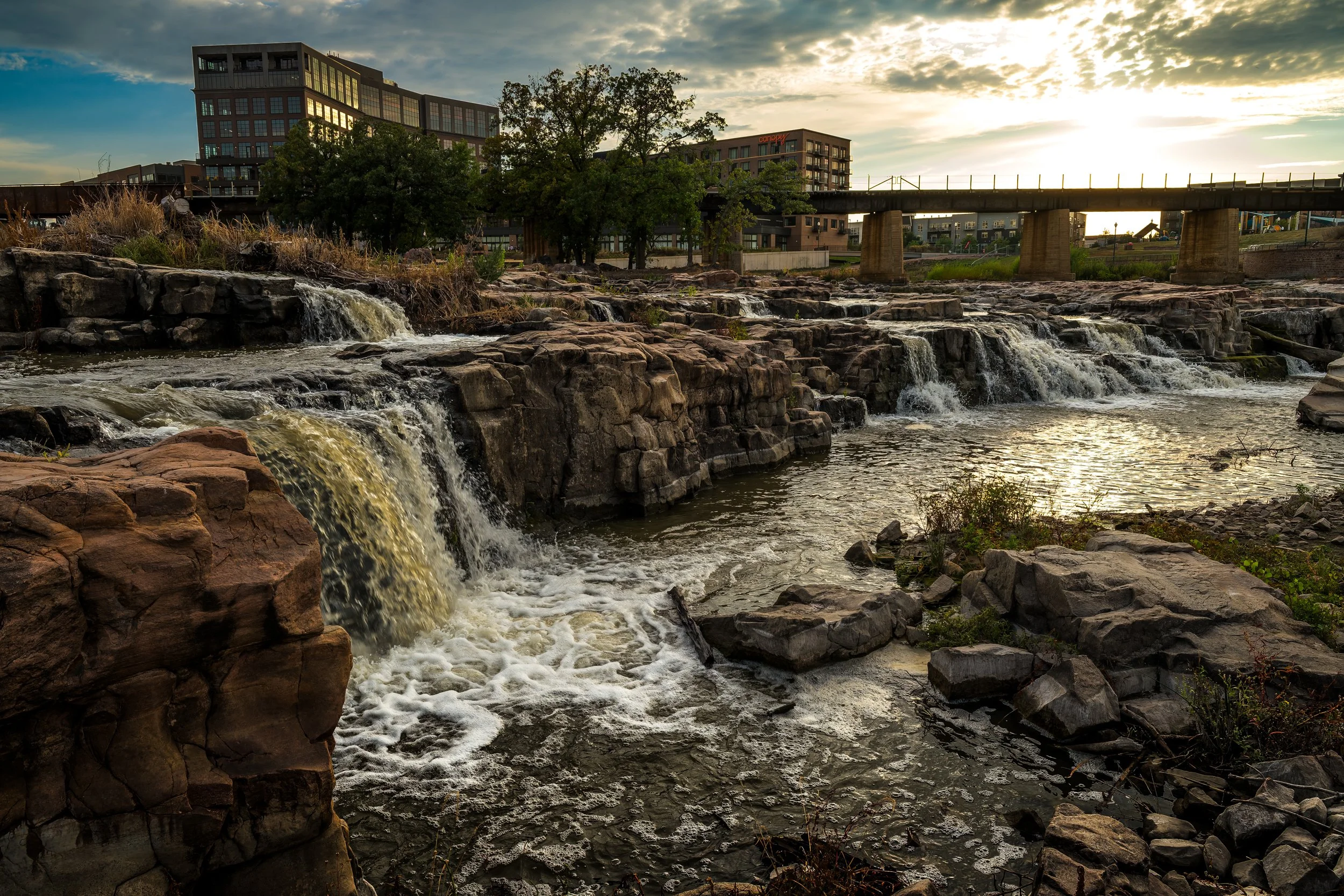
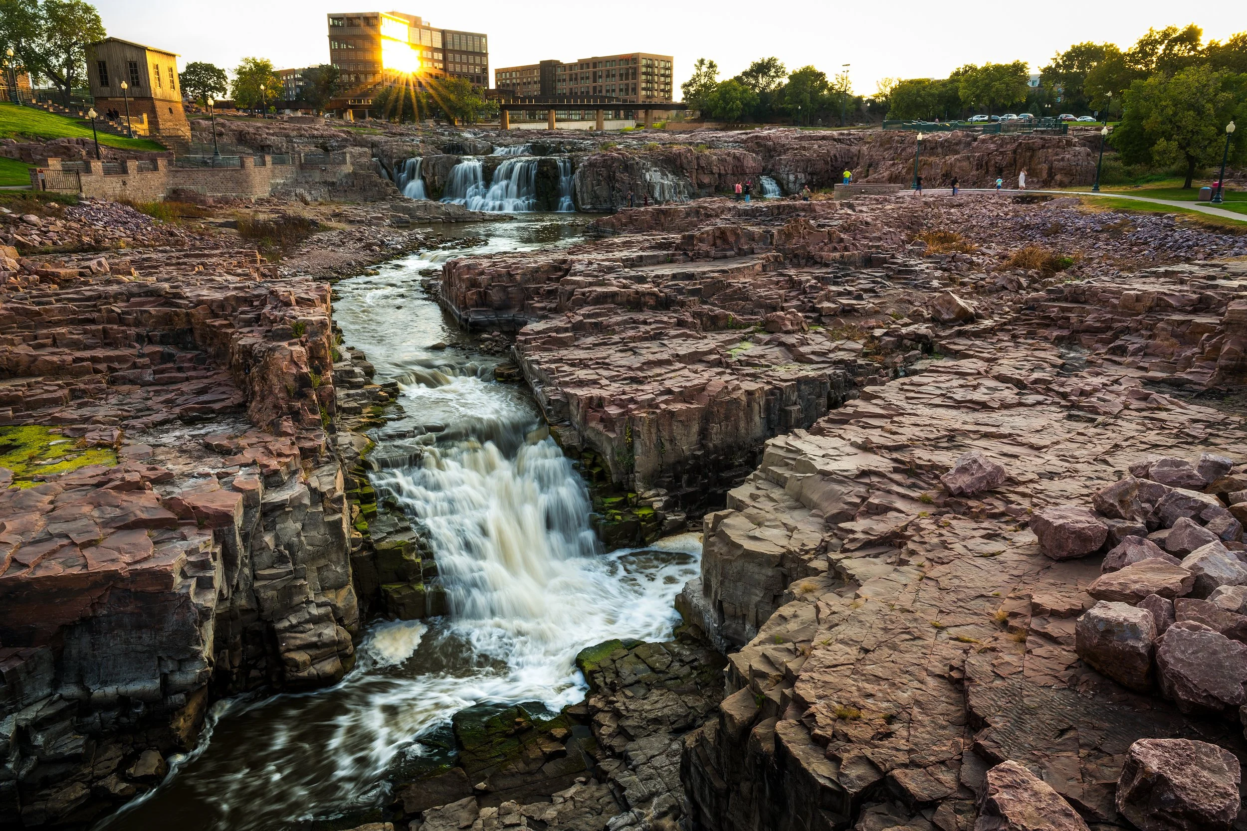
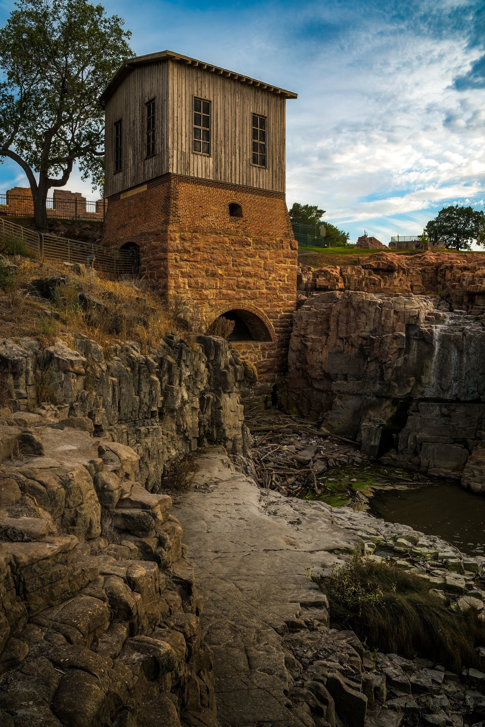
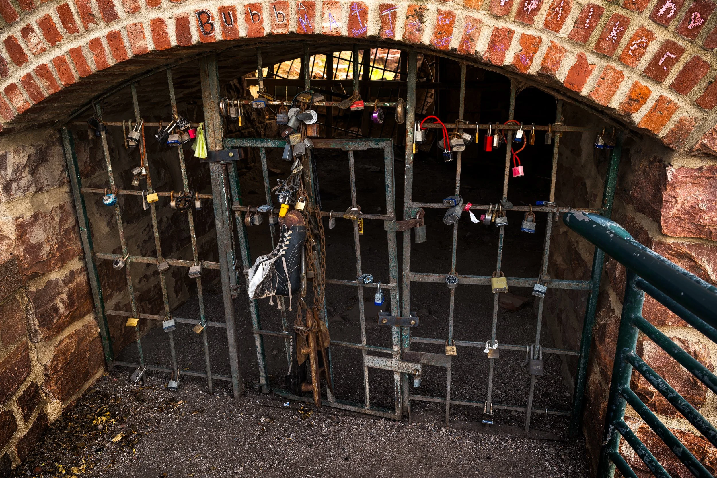
The Geological Story of the Falls at Sioux Falls
At first glance, the waterfalls in Sioux Falls appear to be exactly what their name suggests—water dropping over rock along the Big Sioux River. But the scene visible today is actually the result of a long and complicated geological story that stretches across billions of years. The falls are not simply a river feature; they are the meeting point of ancient stone, glacial forces, and a relatively young river landscape.
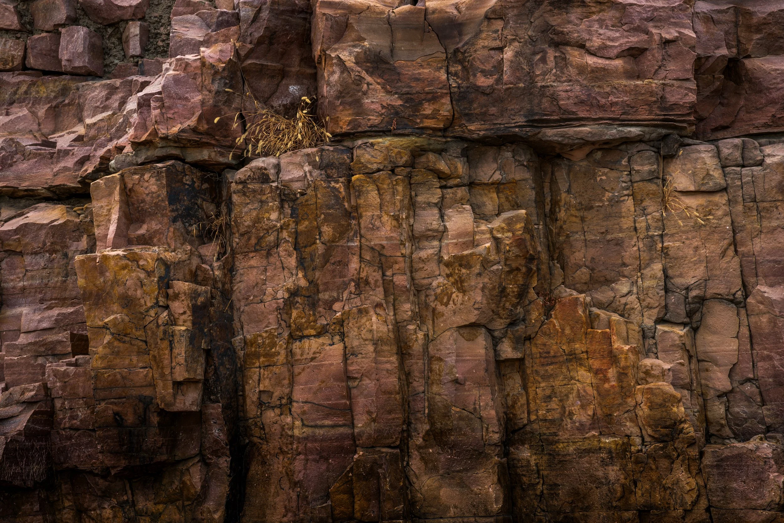
The bedrock that forms the falls is known as Sioux Quartzite, a striking pink stone that underlies much of the region. This rock began as ordinary sand nearly 1.7 billion years ago, when the area was part of a shallow ancient sea. Over immense stretches of time, those sand deposits were buried, compressed, and heated deep within the Earth. The individual grains fused together into one of the hardest rock types found on the continent: quartzite. Iron oxide within the rock produced the distinctive pink color that now glows in the sunlight and gives the waterfalls their unmistakable appearance.
Because quartzite is extremely resistant to erosion, it plays a decisive role in shaping the falls. Rivers typically carve their way through softer rock over time, gradually cutting valleys into the landscape. Quartzite, however, resists this process. When water encounters it, the river often has little choice but to flow over the rock rather than through it.
But even this ancient ridge of quartzite alone would not have produced the falls seen today. The waterfalls themselves are geologically young, and their existence is tied to the dramatic events of the last Ice Age.
Roughly 20,000 years ago, massive continental glaciers advanced across the northern United States during the period known as the Wisconsin Glaciation. These glaciers reshaped the landscape wherever they traveled. They scraped away soil, pushed vast amounts of sediment across the plains, and blocked or redirected many existing rivers.
When the ice eventually retreated, the drainage systems of the region had been fundamentally rearranged. Rivers that once followed older paths were forced to seek new routes across the altered terrain. In the case of the Big Sioux River, the post-glacial landscape pushed the river directly across the quartzite ridge that runs through present-day Sioux Falls.
This created a geological conflict between water and stone.
Instead of gradually cutting through the extremely hard quartzite, the river was forced to spill over the edge of the formation. The result was a series of cascades and drops that together form the waterfalls at what is now Falls Park. Although the falls appear dramatic, they are not a single vertical drop. Rather, the river descends roughly one hundred feet through a series of smaller ledges and terraces carved into the quartzite.
In geological terms, these waterfalls are very young—likely forming only 10,000 to 12,000 years ago after the glaciers melted. The rock beneath them is nearly two billion years old, but the flowing cascade itself is a relatively recent development in Earth’s history.
Evidence of the glaciers that helped create this landscape can still be seen in the rock today. In some places along the exposed quartzite surfaces, the stone appears unusually smooth and polished. This effect was produced as glaciers moved across the region carrying sand, gravel, and stones at their base. These materials were dragged across the bedrock like enormous sheets of sandpaper, grinding and smoothing the rock beneath the ice.
In certain locations, careful observers can also find faint scratches or grooves etched into the quartzite. These marks, known as glacial striations, were carved by rocks embedded in the bottom of the moving glacier. They act almost like fossilized arrows, revealing the direction the ice once traveled across the landscape—generally from the northeast toward the southwest. Quartzite’s remarkable hardness preserved these marks long after the glaciers disappeared.
The falls also held significance long before modern settlement. Indigenous peoples of the region, including the Lakota people, recognized the falls as an important landmark along travel routes. They referred to the location as Owáhiŋža Wakpá, meaning “the river with the falls.” The area served as a gathering place, a crossing point, and a geographic reference within the broader prairie landscape.
Today, the waterfalls at Sioux Falls represent a rare convergence of time scales. The stone beneath the river formed nearly two billion years ago. The glaciers that redirected the river vanished roughly twenty thousand years ago. And the waterfalls themselves have been shaping the landscape for only the last ten thousand years.
The rushing water is not simply a scenic feature of the prairie. They are the visible result of ancient oceans, continental glaciers, and a river that was forced to change its course. What appears at first to be a simple waterfall is, in fact, a moment where deep geological time and present-day motion meet in a single place.
How to get there…
Here is a precise what3words address, made of 3 random words. Every 10ft square in the world has its own unique what3words address.
///serves.hardly.socket
https://w3w.co/serves.hardly.socket
43.557231, -96.722005
43°33'26.0316"N, 96°43'19.2180"W
43°33.43386'N, 96°43.3203'W